

By Morgan Beach
As someone who has lived in an American tech hub city for some years, I hadn’t spent much time thinking about life without access to a smart phone map until I started working with Missing Maps.
Maybe you haven’t, either.
But life without digital map data can be extremely challenging, especially given our work here at the Red Cross. Each year, disasters around the world kill nearly 100,000 people and affect or displace 200 million. Many of the places these disasters occur are literally ‘missing’ from maps, and first responders lack the information needed to make valuable, site specific decisions.
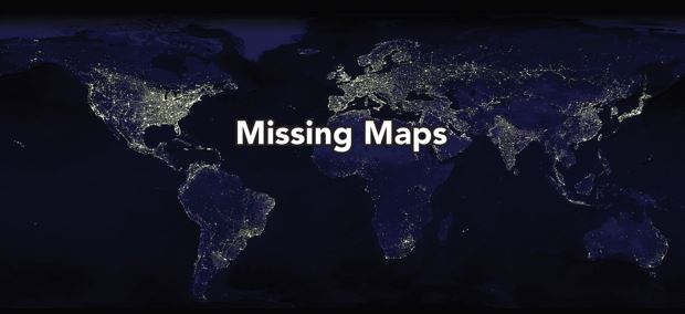
Missing Maps is an open, collaborative project, mapping areas where humanitarian organizations are working to meet the needs of vulnerable populations. People and organizations around the world are using web-based mapping platforms to fill-in the gaps. Why is it so important to invest in digital mapping? When we don’t know where people live, where they shop, where they cross borders, we cannot help them as effectively as possible.

Missing Maps was founded in 2014 by the American Red Cross, British Red Cross, Doctors without Borders and Humanitarian Open Street Map Team to start strategically mapping the world’s vulnerable communities.
If you aren’t familiar with OpenStreetMap (OSM), think of it as the Wikipedia of maps. It is open-source and editable by anyone. You might be using it in your daily life already, just like Google Maps, Apple Maps, or Bing Maps. Companies like Etsy, Pintrest, Uber, and The Financial Times use OSM data to build their custom maps.
With Missing Maps, we follow a three-step process to get to a final product:
- First, digital volunteers trace satellite imagery to create a base map. That means people all over the world (who have access to the internet and a computer) log-on and use the editing platform to add digital information to a satellite image.
- Step two happens when community members, or those with local knowledge, fill in the base map with more detail. Information like school and building names, street addresses, and many other points of information you would find useful on a map.
- The final step is what we call the “Red Crossy phase”. When we use the data collected to strategize our work.
One big area of focus is our measles campaign. Measles is one of the most contagious and severe childhood diseases on the planet – preventable with a simple and affordable treatment that costs about $2 per vaccine to deliver. Our current focus is on Malawi, where we have a vaccination campaign planned next year.
However, measles vaccines are only effective if you are able to vaccinate 90% or more of the population in a geographic area. So it is critical for us to know how many people are in the area, where they live so we can establish vaccination locations, and how to efficiently transport them. Missing Maps digital volunteers around the world make sure we have the information we need before we even step foot in Malawi to deliver a vaccine.
Missing Maps projects also help us respond to large scale disasters when they strike. For example, check out this before and after map of Kathmandu to see the impact mapping contributions can make. These edits were largely made by a global community of remote mappers after the Nepal earthquake in 2015. The critical details these digital volunteers were able to add (like major roads, and important community spots like places of worship, schools, and health facilities) make a huge difference in the response for both global and local organizations.

The best part of Missing Maps is that you can map from anywhere in the world as long as you have a computer and internet access. You don’t need to be familiar with the location you’re mapping, geographic information systems, or mapping technology applications in advance.
If you visit www.MissingMaps.org/learn, all the tools you need to educate yourself are there. We’ve even created a YouTube tutorial to share more of why we map and teach you the editing tools to make it extra easy.
And there are Seattle area meet up groups if you want to physically join a community of mappers working on projects and get even deeper into the world of open source mapping.
Happy mapping!


")


